Research Opportunities: Smith Mountain Burn Exclusion Area
A local student placed at the International STEM Fair in San Diego with this analysis:
|
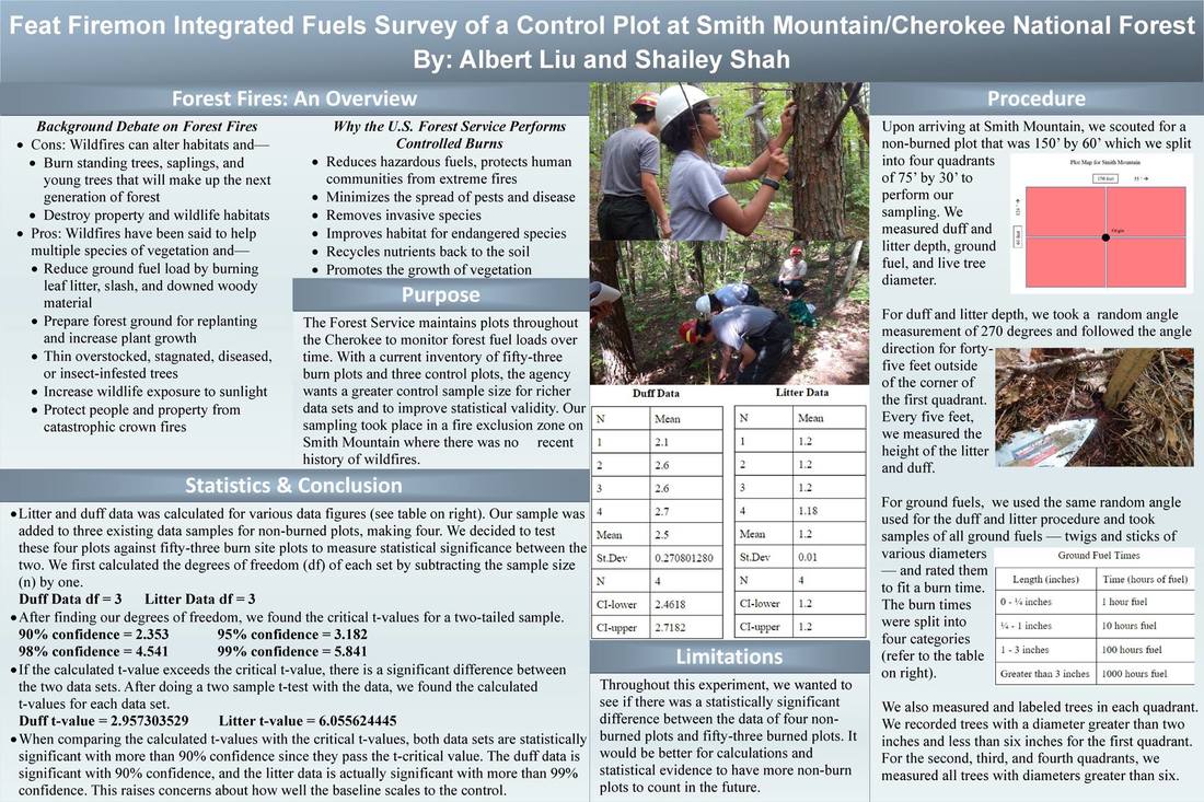
In 2013, the Forest Service planned to undertake multiple burns in the South Zone. As we studied the areas under proposal, we found that according to the Cherokee's database the much of the Smith Mountain area had no record of wildfire or controlled burn as far back as their data went. We appealed to the rangers to consider maintaining a fire exclusion zone for research purposes, as there are few places that have not come under the controlled burn program.
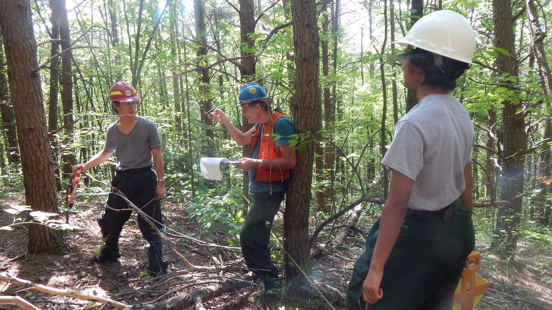
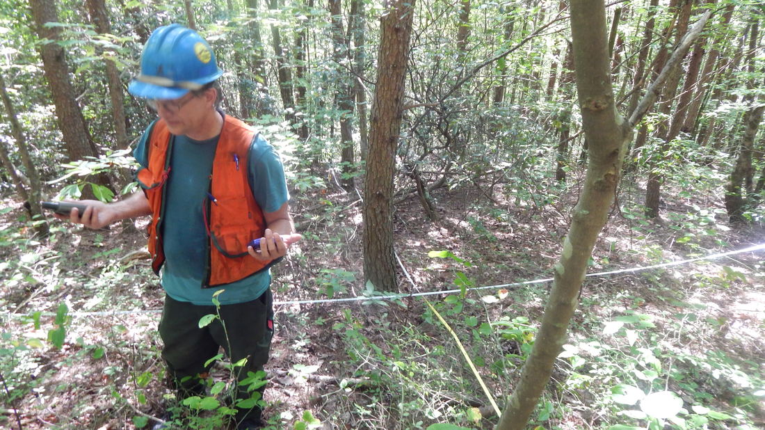
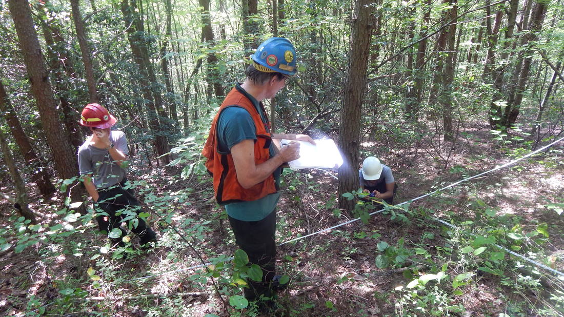
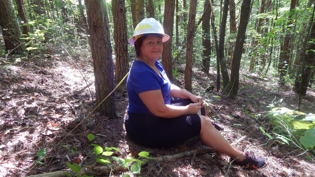
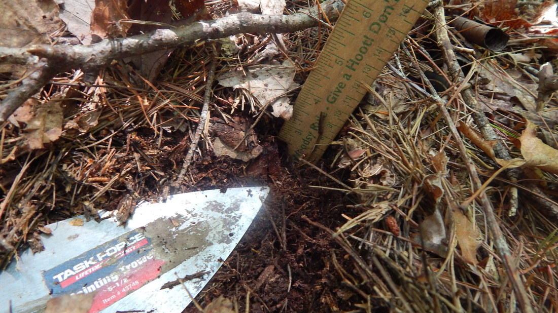
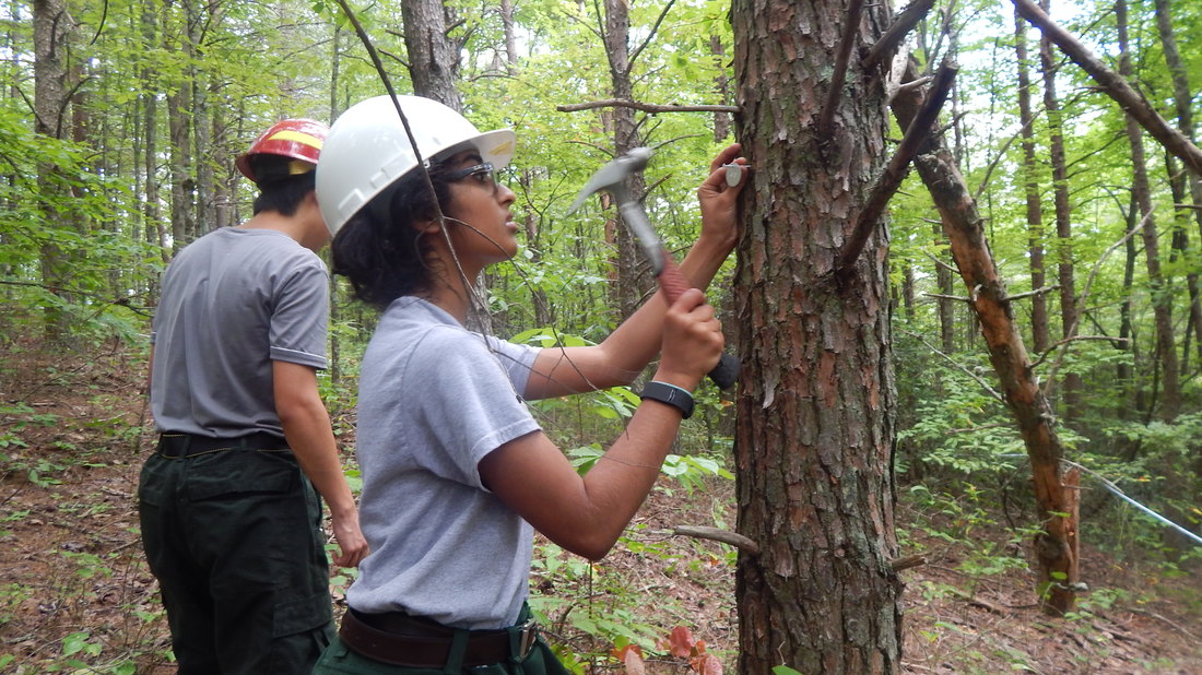
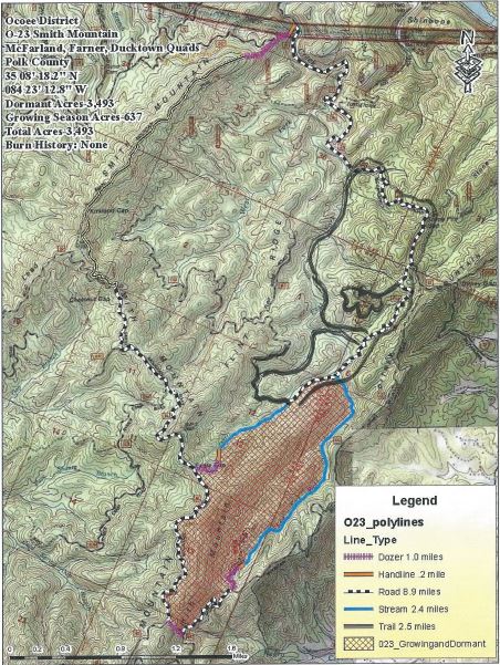
A roughly 300 acre area (shown as circled with a black marker) was agreed upon. As much of the rest of the area was being burned, considerations for ease of management and safety made an area partially bounded by a road to the east and north and a creek to the west a good candidate. The area is mostly uplands, typical second growth dating from early to mid 20th century- characteristic of much of the forest. The Cherokee keeps 53 burn plots, and had up to now three "control" plots. The burn plots are measured for duff depth and leaf litter depth, tree composition, woody debris and ground cover vegetation. Measurements are taken before burning (Y0), then years, 1,2, and 5 for post-burn changes. Unfortunately, data was not gathered on when each plot area had last burned. Such data is very incomplete to begin with. As a result, a temporal element is lacking. Having an area to sample that has not had recent fire provides an effective role as an experimental control group that the Y0 data cannot. As it stands, they have 53 plots that at Year 0 (before they burned) had not be dated for time of most recent burn, so it's a baseline set that has some use, but is limited a time of pre-burn condition. By having an area that is documented as having had no fire for at least half a century as a reference, there's now at least one area big enough to gather a set of plot points a long-term condition of no burning. We began establishing plots in 2016. Our goal is to get at least ten in the next couple of years. Having this kind of data, opens up a lot of opportunities for research beyond the current parameters being tested: macroinvertebrates, fungi, birds, moisture levels, rates of decay, and on and. Academics, students, and researchers now have a good place to study fire ecology, and potential for comparison to the agency's burn data set. If you are interested in making use of this valuable research tool, we encourage you to contact the rangers at the Cherokee National Forest. |